Trip Report: Alta Via 2
Logistics
There are no permits required to hike the Alta Via 2. The rifugios are the trickiest part, as many book up far in advance. When planning, we found a couple rifugios already booked up for late June (especially in the north), so I went ahead and booked everything in advance.
If I were to do it again, I might book only 2-3 days at a time using WiFi at the rifugios for more flexibility, but honestly our reserve-in-advance approach worked just fine.
As this hike was part of a larger Europe trip, we traveled first to Feltre, where we dropped a large duffel bag at an Airbnb. We took a train from Feltre to Brixen/Bressanone, then hiked south back to our belongings in Feltre. This worked well.
For anyone interested in the hike, the Cicerone guidebook is really all you need. The book comes with a link to a downloadable GPX file, which you can import into Caltopo or your app of choice.
Difficulty
The AV2 was challenging, but notably easier than high routes like the SHR, KCHBR, or WRHR. Thanks to the rifugio network, you're carrying minimal weight, eating warm meals daily, and sleeping on a mattress. I consider it somewhat "luxurious".
That said, the actual hiking along the AV2 had quite a bit of vertical gain (some long ascents thanks to the glaciation in the dolomites) and the sections were generally longer and more strenuous than other hut-based hikes I've done like the Manaslu Circuit. There is also quite a bit more exposure on the AV2 thanks to short sections of via ferrata, enough that I would recommend via ferrata gear to anyone who does not have a head for heights.
Photo Recap
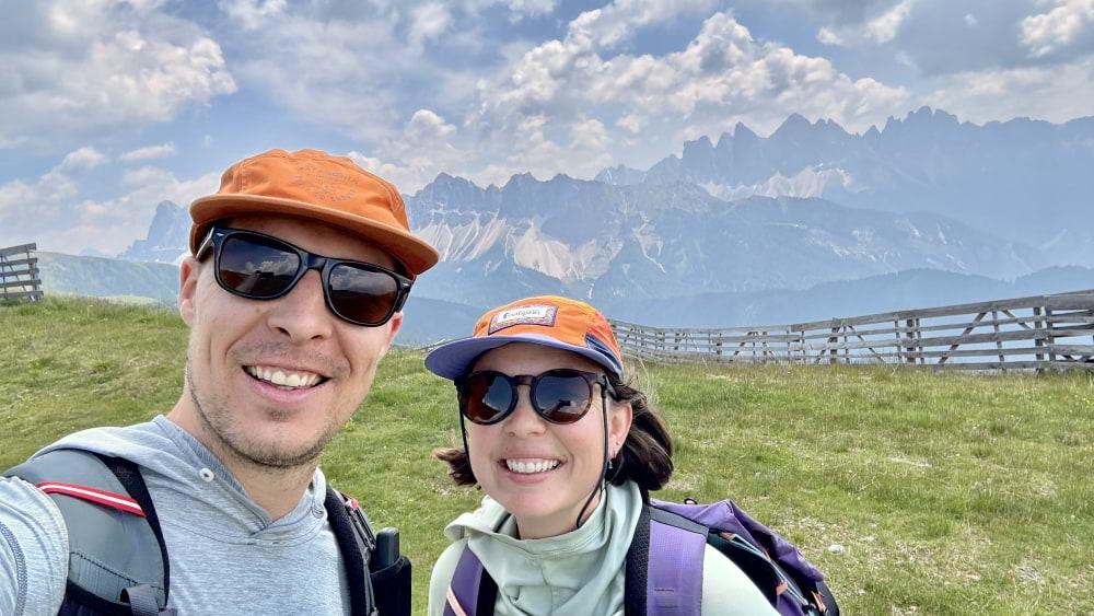
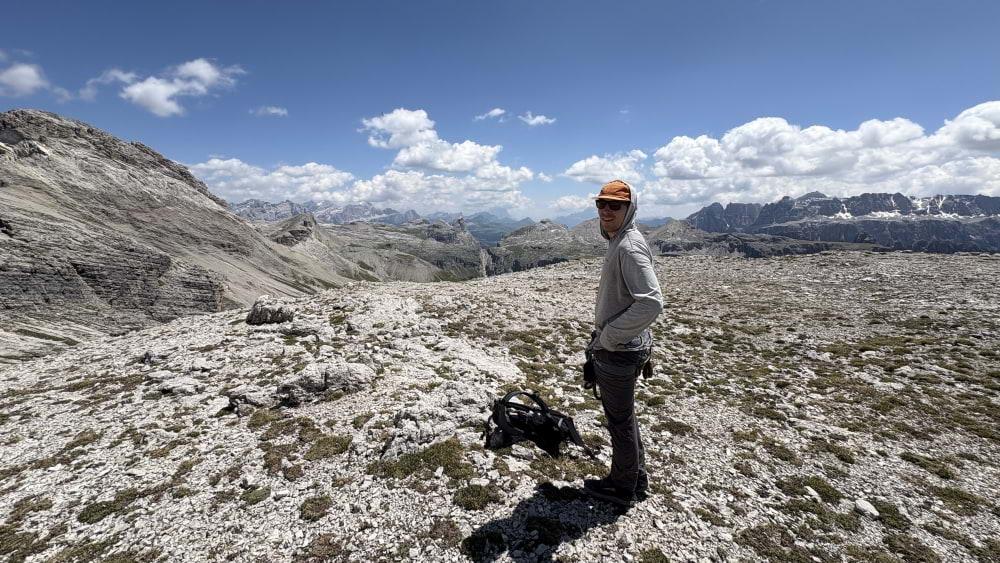
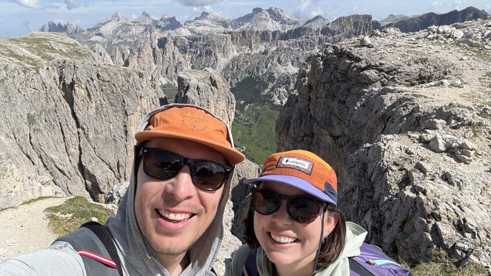
Starting selfie at Plose. We took the gondola, 10/10 would recommend.
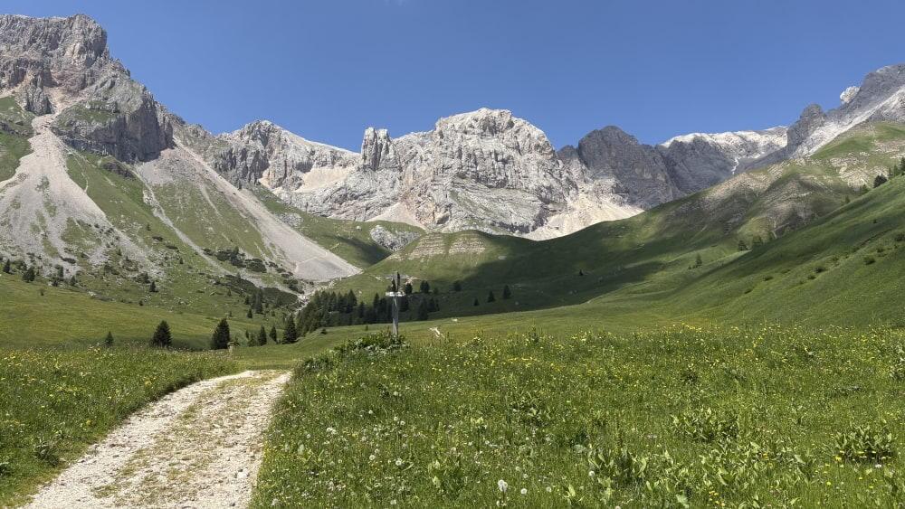
One of the best benefits of a June AV2 hike were the wildflowers. The photos obviously don't capture the color, but the fields were fully in bloom.
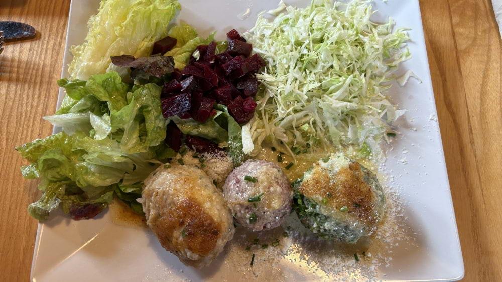
We were surprised to see a lot of German/Austrian cuisine at the first couple rifugios. These dumplings were delicious.
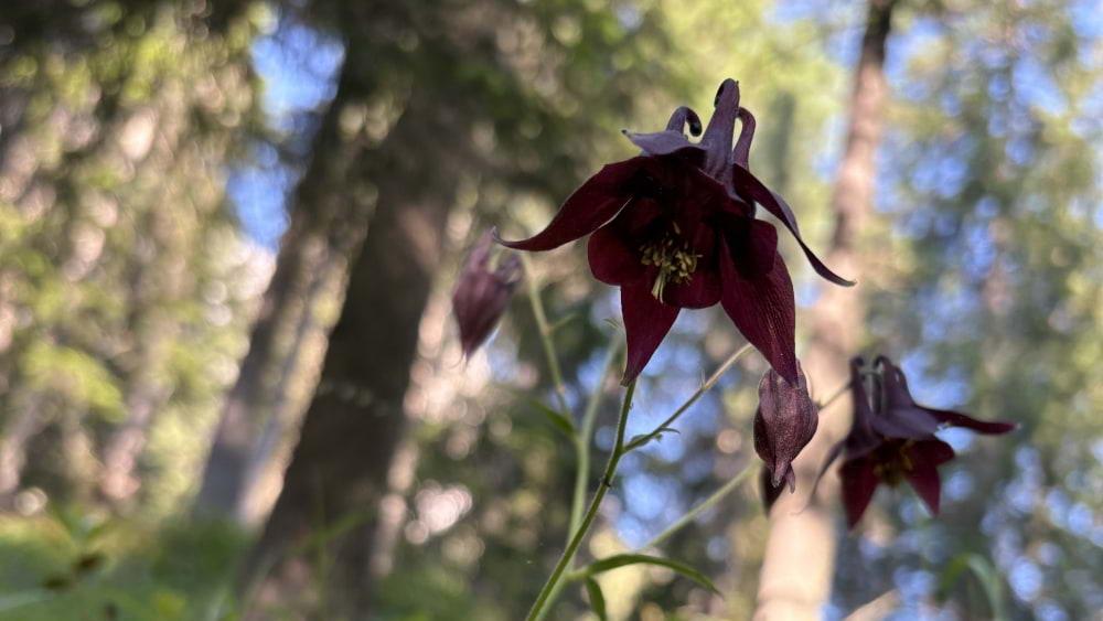
Some sort of columbine.
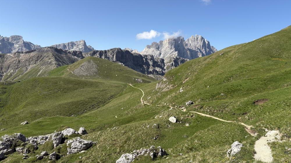
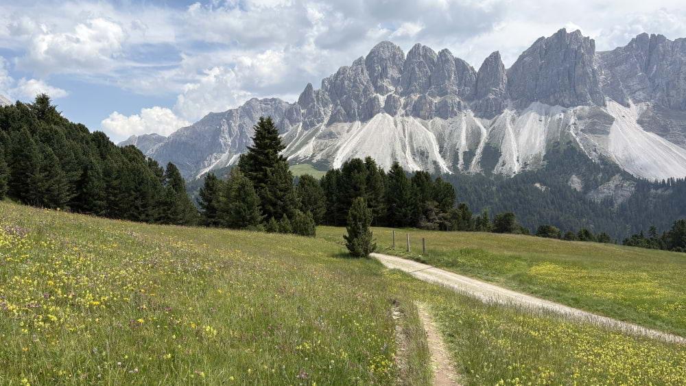
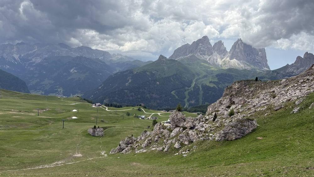
View from Porcella de Putia.
Taking a break on Forcella Nives after our first stretch of via ferrata.
Newlywed smiles after ascending the steep guly to Rifugio Pisciadu.
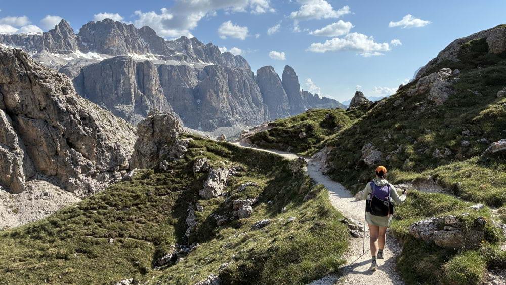
View from Rifugio Pisciadu. The AV2 is the shady trail ascending on the left.
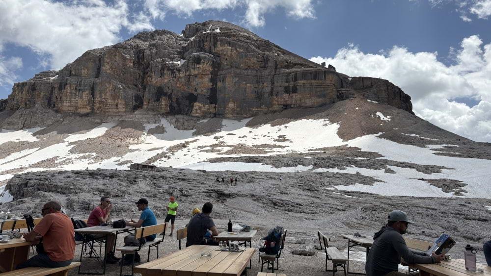
View from Rifugio Boe. We got Boe and Capanna Fassa confused from afar, which led to much distress.
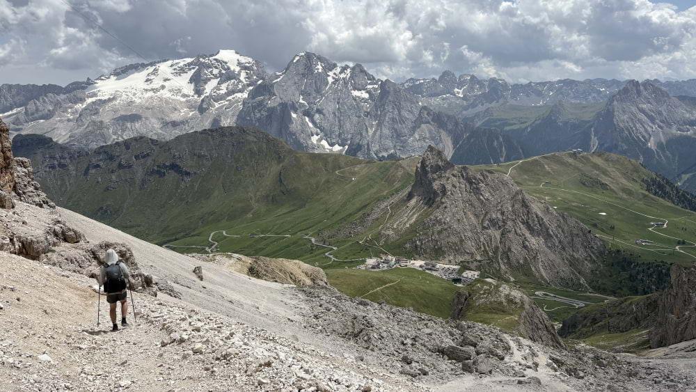
The long, scree-filled descent to Passo Pordoi.
Storm's coming up, Ani. You better get home quick!
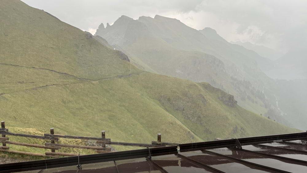
We managed to make it to Rifugio Viel dal Pan just as the rain really started coming down. Grateful to watch the deluge from under a roof.
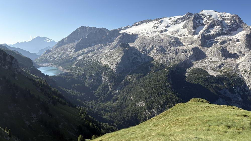
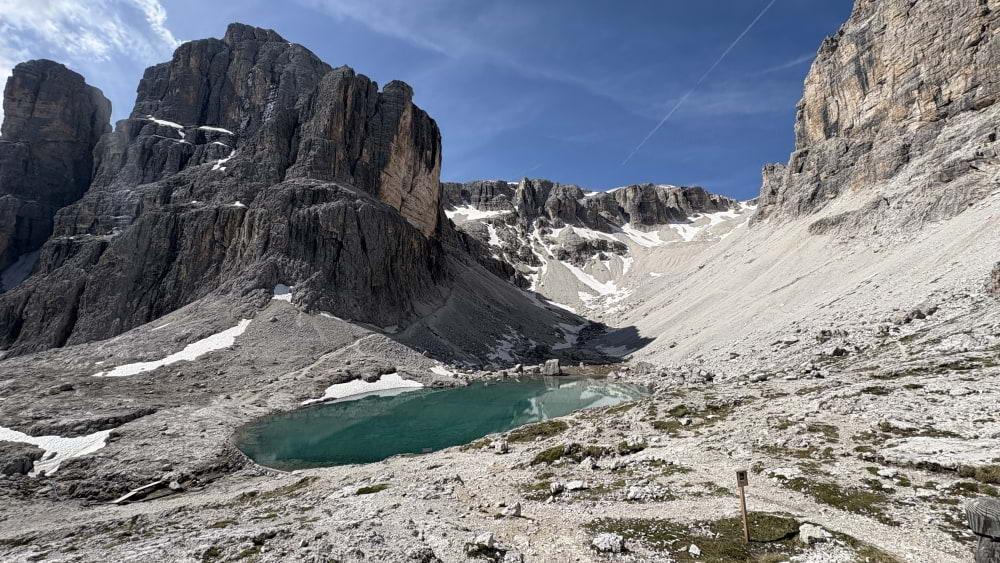
Big views of Marmolada and what's left of the Marmolada Glacier the next morning.
Returning above treeline after the long, gradual ascent from Malga Ciapela.
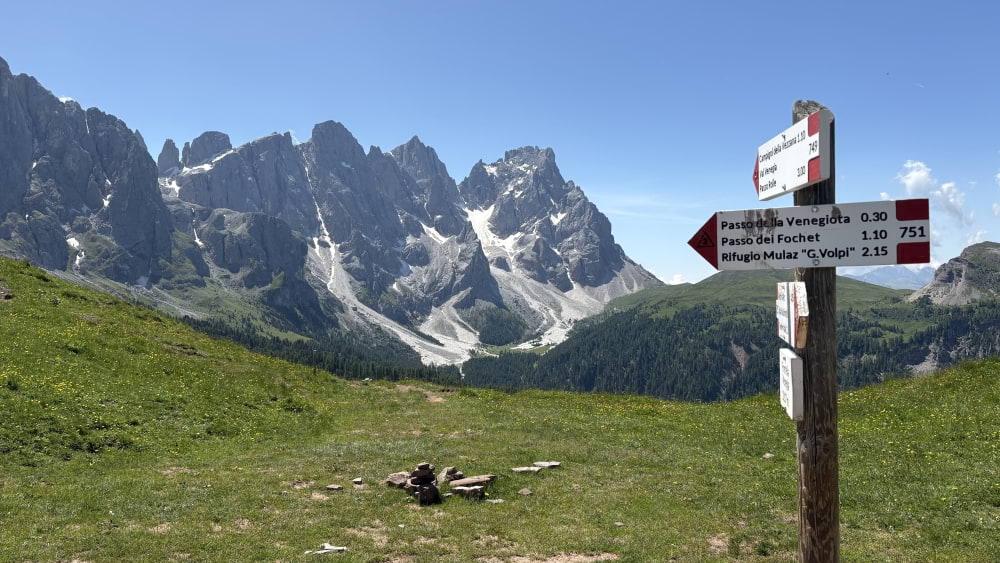
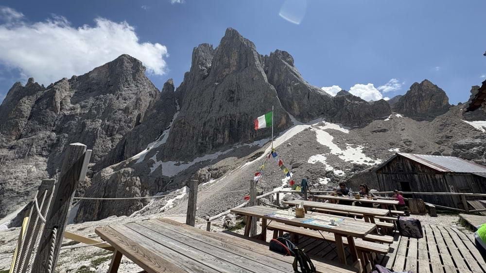
The view from Mulaz was probably our favorite of the trip.
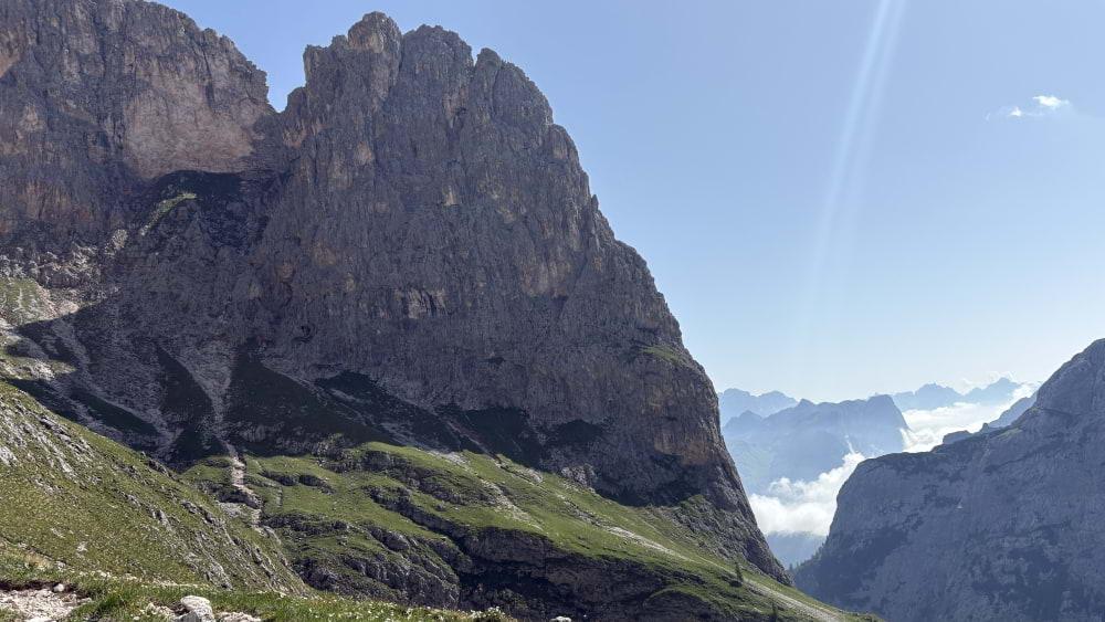
The picture doesn't show it, but we sat for a while and watched a herd of animals (mountain goats? ibex?) make their way across the vertical cliffs in this picture.
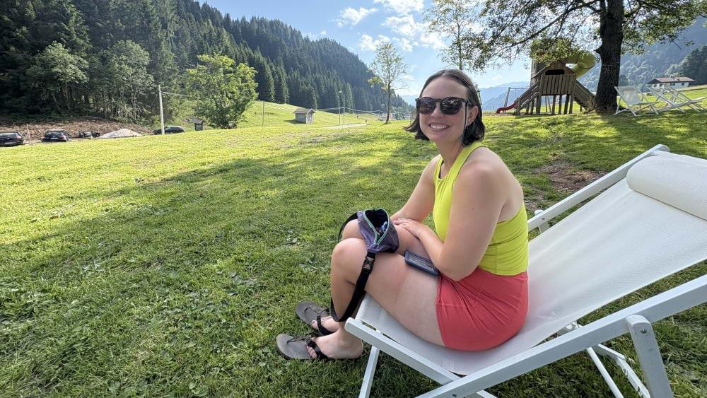
Relaxing afternoon at Passo Cereda. Check out that thigh tan on my wife!
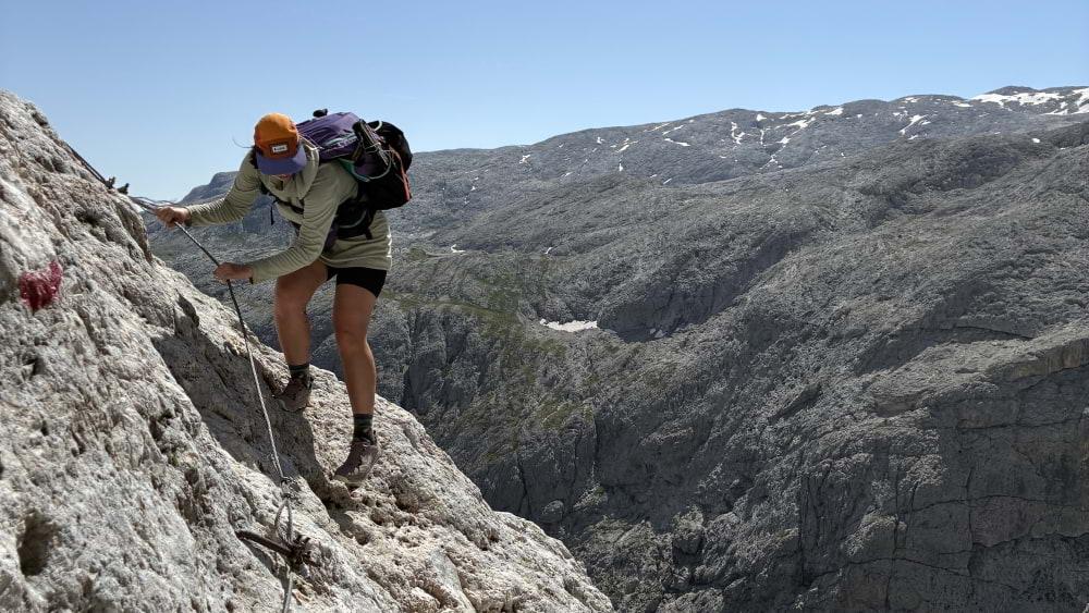
Via ferrata providing protection during an exposed stretch.
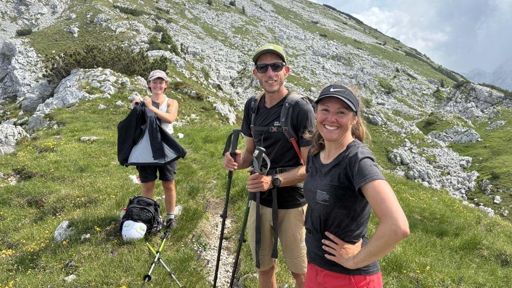
One of the best parts of the hike was the friends we made along the way. From left to right: Bridget, Thijs, and Eileen.
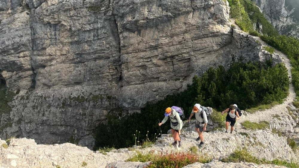
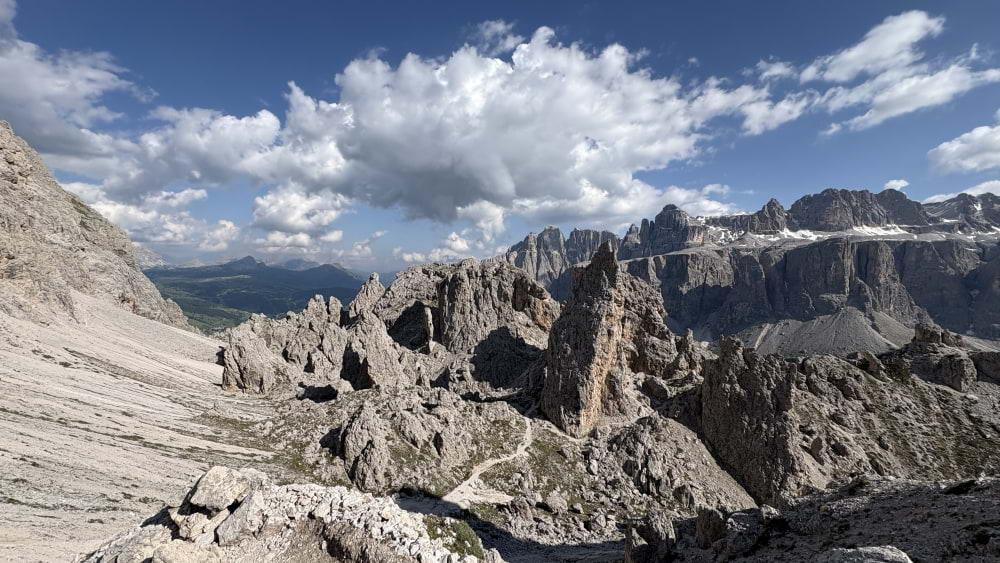
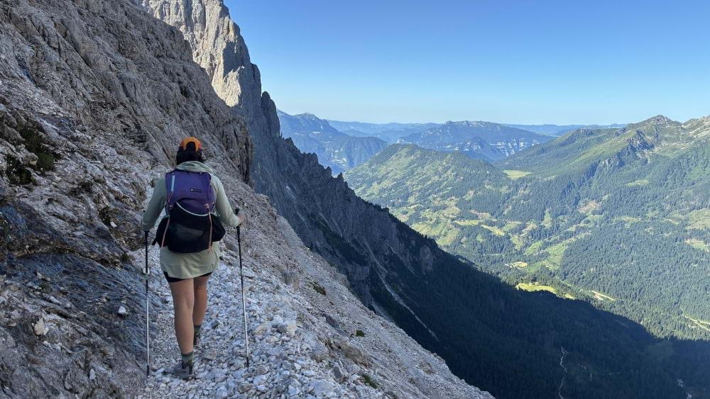
Knife edge trail ascending the north shoulder of Sasso di Scarnia.