Trip Report: Wind River High Route Part 2
Recap
Sprout and I met to tackle some unfinished business in the Wind River Range. Despite being a short stretch of ~50 miles, Section 4 did not disappoint. Here's a recap in photo format:
Starting up the all-too-familiar Glacier Trail on Day 1. Fortunately, it was a lot less buggy this time so I could stop for picture breaks.
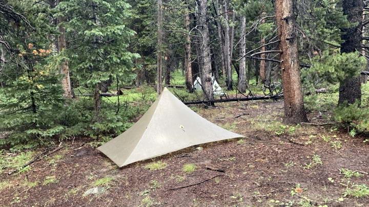
We camped on night 1 in a familiar forest, almost exactly the same location where we had camped on our last night a year ago.
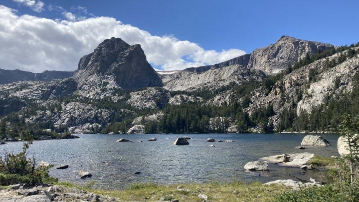
Emerging above treeline and approaching the end of the Glacier Trail. Brooding clouds threatened in the distance as we knew some weather was in the forecast.
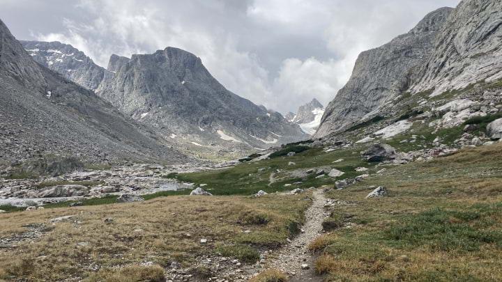
After a quick morning pace, we were back on the WHR. Stopped at these walled sites (PR-44) for a quick snack and to decide whether to continue ascending toward West Sentinal Pass or to retreat with the coming storm. We gambled and decided to push on into exposed country.
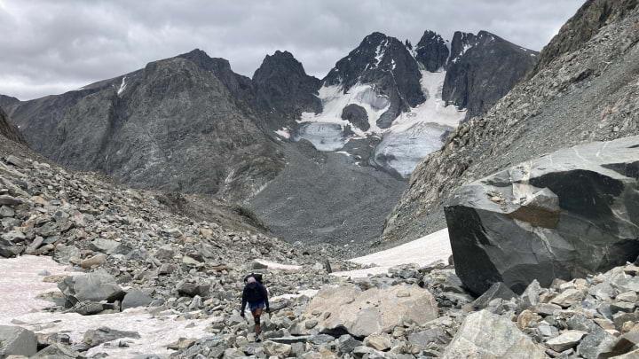
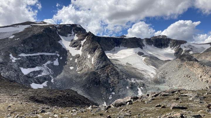
Sprout ascending West Sentinal Pass.
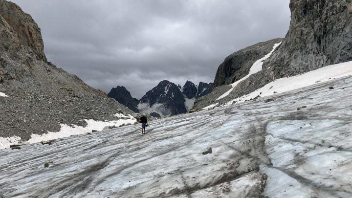
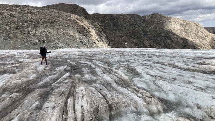
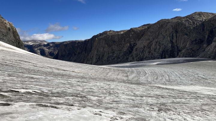
First steps on Gannett Glacier.
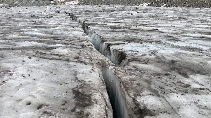
Small (yet deep) crevasse on Gannett Glacier. I'm not sure we encountered anything large enough to swallow an adult human, but in retrospect it wouldn't have been a bad idea to rope up.
Crossing the glacier with a clear view of the saddle west of 12,025 in the distance.
Another shot of Sprout on Gannett Glacier.
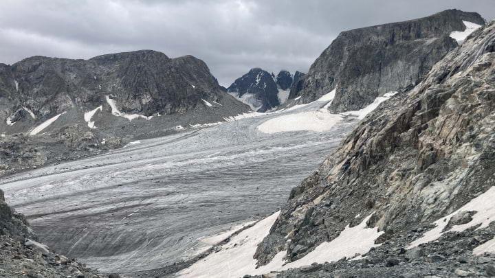
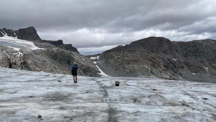
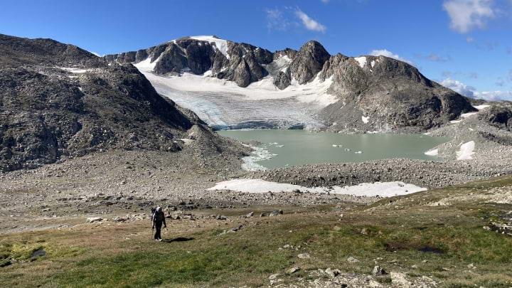
Looking back at West Sentinal Pass and Gannett Glacier (where we came from). The sky was really starting to get dark so we did not linger long.
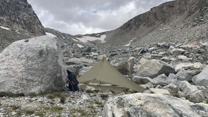
Hunkering down at PR-46, "possible camps if snow-free." Up at the headwaters of Gannett Creak, we felt very exposed. Starting late afternoon, probably the largest storm I've ever experienced began. It dumped pretty consistently for ~15 hours, with multiple rounds of hail and lightning (which I really did not love given our remoteness and exposure). The worst was the wind, which came on extra strong during the night. Around 3AM it finally ripped out a stake and broke my trekking pole. I was able to fix my shelter without much further damage. Needless to say, neither of us slept much this night.
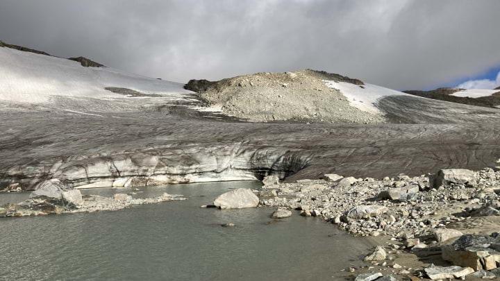
In the calm of the following morning, we continued on to Grasshopper Glacier. Pictured above is the start of the glacier.
Looking down Grasshopper Glacier (we went up, not down to the valley). Despite its shrinking size, the magnitude of this ice field is hard to comprehend.
After Grasshopper, we enjoyed easy cross-country travel along the crest. Pictured here is Sprout with Sourdough Glacier in the distance.
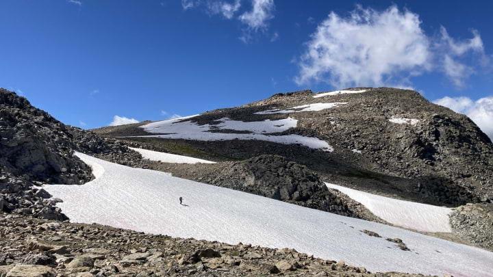
We wanted Downs Mountain (the last real objective/milestone on the WRHR) bad. Here's Sprout making her way across a snow field along the crest as the miles continue to shrink.
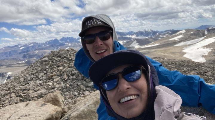
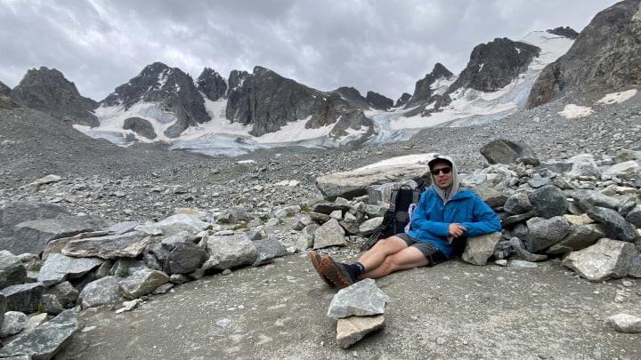
After a couple of false summits, we finally made it! No peak is complete without a trash selfie, so here is Sprout and I on top of Downs. Far off in the distance is Gannett Peak and the rest of the range.
Pretty views while traversing No Mans Pass. After this, it was easy and gradual walking all the way back to the car.