Trip Report: Kings Canyon High Basin Route
Logistics
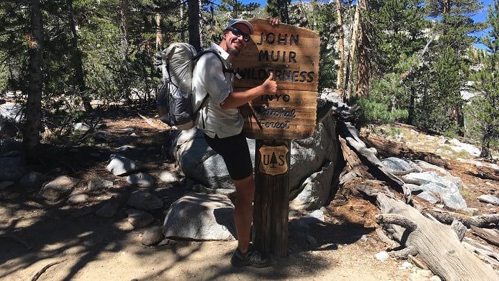
I obtained a permit out of Lodgepole for September 6th online via email application. The instructions are easy and SEKI has always been helpful.
Sprout purchased Skurka’s mapset and guidebook for the hike, which was invaluable. The mapset is spot on. The guidebook was helpful, but contained some errors and omissions.
Lionel, Baboon, and I drove from Truckee, California down to Fresno, where we met up with Sprout on September 5th. The four of us drove two cars into Kings Canyon National Park and camped 30 minutes outside of Lodgepole that night. We didn’t hire or set a shuttle at Road’s End, as we had tentative plans to hike extra trail miles and turn the KCHBR into a loop.
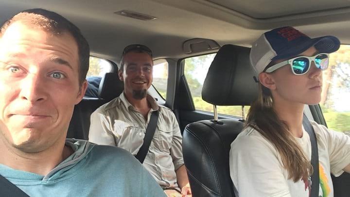
Lionel, Baboon, and I heading to Lodgepole.
We packed 6.5 days of food for the first stretch out of Lodgepole, with the plan of resupplying once via the Bishop Pass Trail. This added 24 miles and probably one day to our hike.
Difficulty
Difficulty is incredibly subjective and can vary based on circumstance. Overall, we had near perfect circumstances (great weather, no major gear issues, no illness), which certainly made the route easier.
Physically, I found the KCHBR challenging but never ridiculous. It was hard work. For perspective, our party was composed of experienced backpackers with impressive hiking resumes; I would estimate we have 25,000-30,000 hiking miles between us. Almost all of that mileage is on named trails, but three of the four of us had previously completed the Sierra High Route. Experience on the Sierra High Route helped our psychological experience—we felt confident in our ability to navigate and were familiar with the slow-going nature of off-trail travel.
We were all in good health at the beginning of the route. We averaged 13.8 mi/day, but that number is slightly inflated due to the ~24 miles that we hiked on trail to resupply via the Bishop Pass Trail. Our shortest full day of hiking on the route was 10.4 miles. One day, we measured 7 miles of travel in 8 hours of hard bushwhacking. All 8 of our knees hurt by the end of the route.
Route Recap
It’s too burdensome (and boring) to give a comprehensive recap of our hike. Using my journals and pictures, I’ll try to hit the highlights and any important logistical considerations. We hiked counter-clockwise, from Lodgepole to Road’s End.
Day 1:
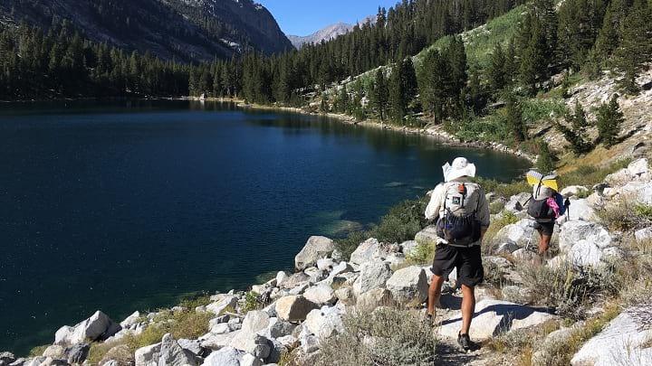
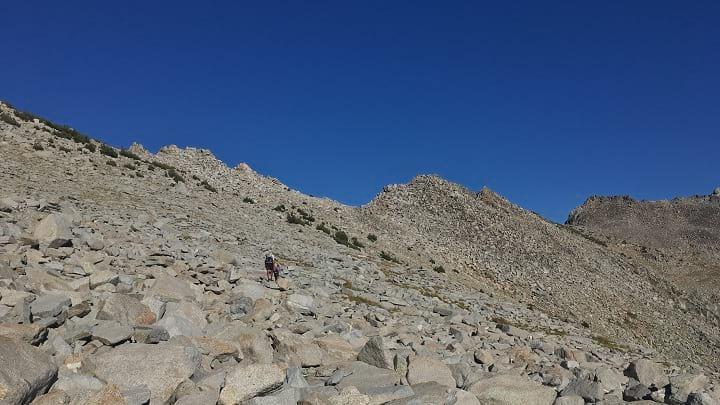
In the morning we picked up our permit, locked our cars at Lodgepole, and began hiking. The ascent was long but not as hot as the climb from Road’s End due to tree cover. The initial slabs from Silliman Meadow to Silliman Lake looked daunting, but weren’t hard—just a lung burner. Staying oriented through the Tablelands was perhaps the hardest navigational part of the trail; we got a little off course and ended up doing some bonus ascending in Buck Creek Canyon.
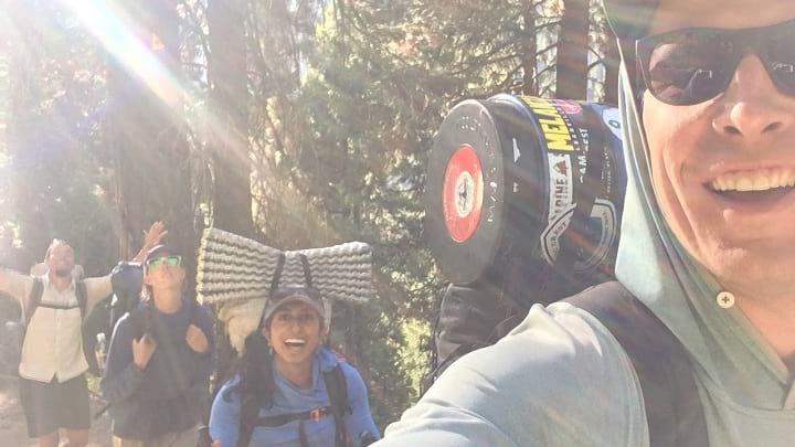
First steps on the trail! Such optimism.
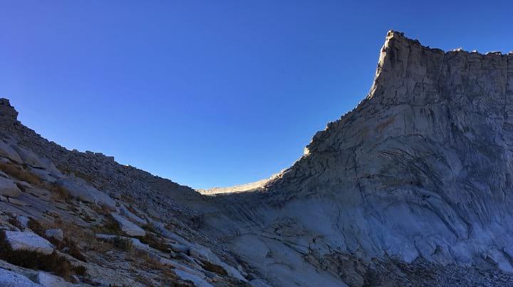
Descending from the Silliman Crest, our first descent on the trip.
Great views east toward the Great Western Divide late in the day.
Day 2:
Skurka gives good direction for ascending to Horn Col: ascend left and contour on the slabs to the pass. The old mining trails to Copper Mine Pass were still easy to follow during the ascent, but disappeared after the first couple hundred meters of descent into Cloud Canyon. Picking the best route to descend Cloud Canyon was tricky, half of us contoured around the first drainage before descending (as the guidebook suggests) while half of us just descended straight away. The latter group seemed to have an easier go time. There were an abundance of clear pools carved into granite slabs for swimming and laundry along the river.
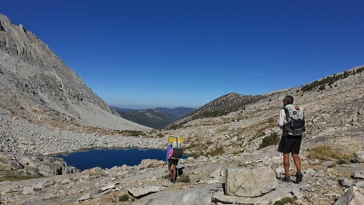
Horn Col. Micro-navigating was fairly straightforward because the pass is obvious and those smooth slabs are too steep to walk on.
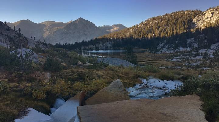
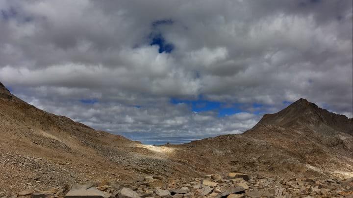
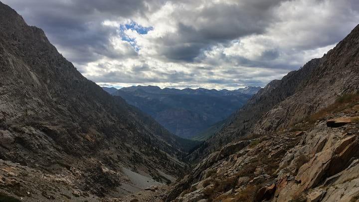
Looking down from Talus Pass. We camped in this meadow.
Day 3:
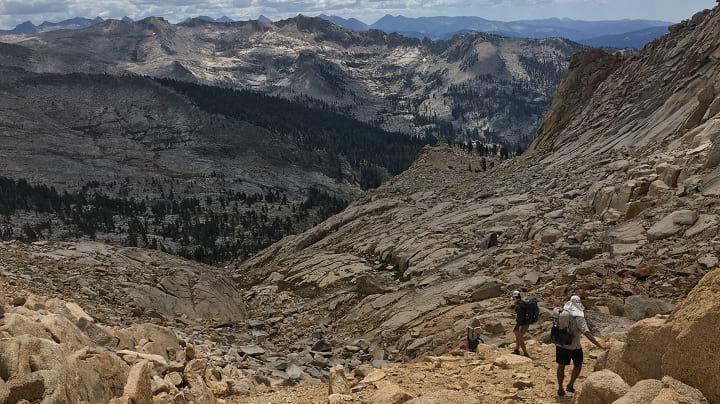
Thunder Mountain Pass’s descent was steep and large talus—enough to make my knees feel it. I’d recommend heading to the far right of the upper valley to avoid getting cliffed out by slabs.
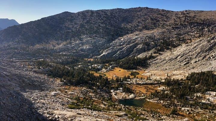
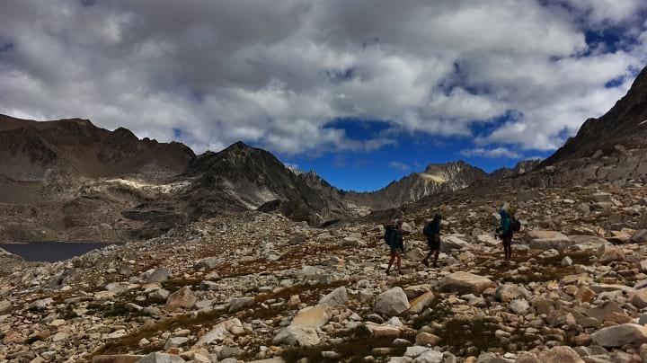
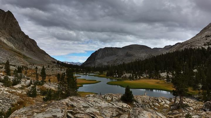
Contouring around alpine lakes through tundra and talus aka the KCHBR in a nutshell.
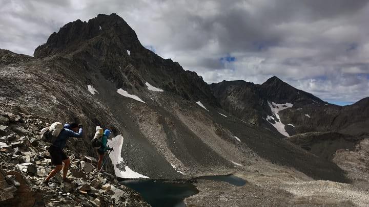
After contouring around to Cunningham Creek, we had a hard time identifying Longley Pass. It’s hidden from the creek, so it wasn’t until ascending closer to South Guard Lake that intuition led us to check our GPSs and confirm that Longley Pass was, in fact, due east. The climb up Longley is loose and slow (in my journal I call it “a sufferfest at its finest”) but technically easy. Skurka categorizes the trail after Lake Reflection as unmaintained, but we found it in perfect shape. I suspect a major trail maintenance project was carried out on the East Creek trail in the last year or two. The East Creek Trail is easy walking all the way to Junction Meadow.
Almost to Longley Pass!
Cruising along the East Creek Trail!
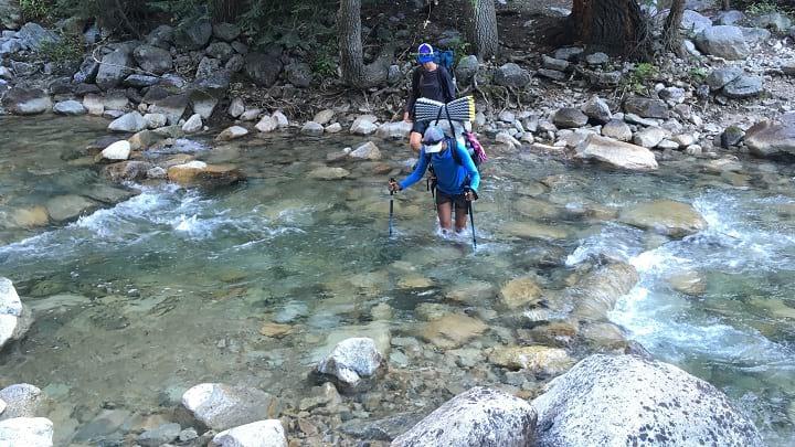
Bubb’s Creek, one of the harder fords on the KCHBR, was easy in late season.
Day 4:
Very pleasant walking for some time past Charlotte Lake. Be careful, because the use trails will take you to Charlotte Dome instead of Gardiner Pass if you’re not paying attention. The USGS Quads show Gardiner Pass as having an unmaintained trail over it, but there’s little to nothing on the ground. Much of the valley to the south has been burned—we wasted time trying to pick up a path where there was none.
The ascent up Gardiner Creek toward Mount Clarence King was probably one of the two hardest sections of trail—dense bushwhacking and endless ascending made for slow progress. Rather than staying along the creek, we followed slabs up the creek’s north side where the topographical maps show a more forgiving ramp. This is probably the path of least resistance to King Col, despite plenty of resistance.
King Col itself is the hardest feature on the entire KCHBR—a narrow chute of crumbly rock and dirt. It is steep and more dangerous than any pass on the Sierra High Route. Taking one of Skurka’s alternate passes and then crossing the lower ridge between the two valleys around the 3440 meter mark to return to the recommended route may be safer.
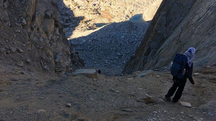
Looking into the abyss that is King Col Pass. Sketchy, crumbly rock in a steep chute.
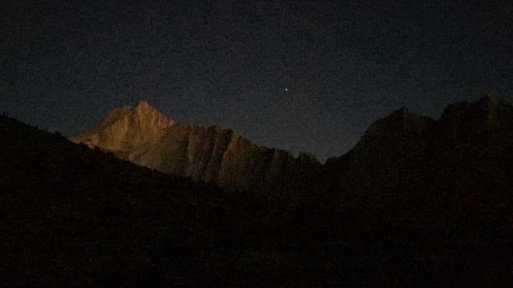
Last light as we set up camp after descending King Col Pass. The descent took longer than expected…
Day 5:
We took the avalanche chute to ascend to the Arrow Basin. It was ugly, and took us 2.75 hours to go 0.75 miles with 1800 feet of vertical gain. I would recommend trying the creek instead—it can’t possibly be worse. Arrow Basin was very beautiful and easy travel. We were thankful for some easy travel at that point.
Ascending endless talus toward Arrow Pass.
The meadow after Arrow Pass wasn’t too swampy (late season) and had interesting mineral build up on some of the creek beds (see how the granite is turned white).
Day 6:
With food running out, we hauled a big four pass day to set ourselves up to get into Bishop. Cartridge Pass was easy and beautiful, as was Lake Basin and Dumbell Pass. We think Skurka’s directions for navigating Lake 10565 after Observation Peak Pass might be backwards; we crossed the large lake on the right (not left), and while there were some large boulders, it wasn’t a problem.
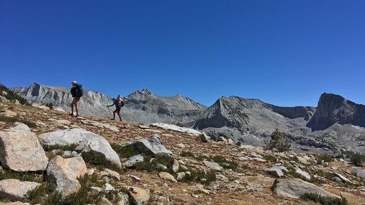
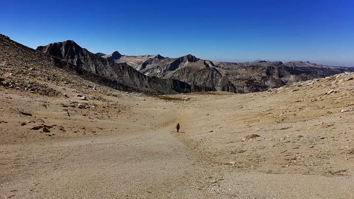
Onward and upward to Cartridge Pass!

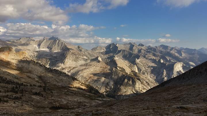
The view north from Dumbell Pass. The low point ahead in the frame is Amphitheater Pass, an alternate route we were too prideful to take.
Finally, looking down on Palisade Creek and the familiar JMT 2,500 feet below.
Day 7:
An all-trail day, we left the KCHBR at the Le Conte Ranger Station and resupplied via the Bishop Pass Trail.
Day 8:
There are a lot more people on the JMT than any other part of the KCHBR. We saw one ranger on our first day out of Lodgepole, but no other hikers or people for the rest of the hike while off-trail. It felt like I came across another hiker every 5 minutes while on the JMT and Bishop Pass Trail.
Exiting wilderness to resupply in Bishop, Lionel is all smiles!
Day 9:
The Ionian Basin is cool, in a desolate, nothing-lives-here kind of way. To spend more time in this Martian landscape, we opted to take the Goddard Creek alternate, leaving Skurka’s recommended route at Chasm Lake and circling counterclockwise along Lakes 11592, 11837, 11818, and 10232. Travel up to Lake 9797 is incredibly scenic, remote, and easy. Perhaps my favorite stretch of the whole trip.
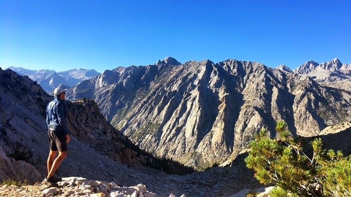
With the familiar Helen Lake peaking out in the background, we left the security of the JMT to head into the Ionian Basin.
Looking back revealed a cool perspective of Muir Pass. Look closely and you can see Muir Hut in the middle.
Lionel searching for any signs of life in the Ionian Basin.
Easy cruising near the headwaters of Goddard Creek.
Day 10:
Descending from Lake 9797 to the Middle Fork of the Kings River sucks. Goddard Creek has cliffy canyons above treeline, and dense brush below its confluence with Disappearing Creek. Traveling in the river is generally more dangerous than traveling above it. Good luck.
The view down from not-too-far after Lake 9797. Here you can see how the Upper Goddard Creek valley is steep and narrow.
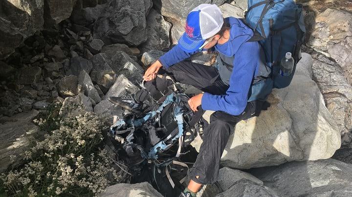
In one of the most remote sections of the KCHBR, Baboon found a destroyed backpack. Lionel would find a shredded tent nearby.
Day 11:
The climb from the Middle Fork of the Kings to State Lakes is 8 miles (on well-maintained trail) and has no water. It is the longest water carry of the KCHBR.
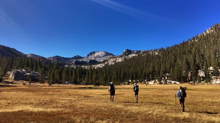
The end of the KCHBR overlaps with the (conventional) beginning of the Sierra High Route. Both Goat Crest Pass and Grouse Lake Pass are straightforward, and we were surprised by how quickly we reached Grouse Lake. Rather than hike out and have to hitch back to our cars at the end of the day, we elected to stop early at Lower Tent Meadow and enjoy one final day in wilderness.
Looking epic and whatnot while progressing toward Goat Crest.
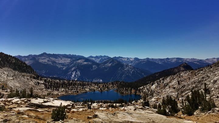
All down hill from here! Grouse Lake in the foreground, with the South Fork of the Kings River (and Road’s End) in the valley far below.
Day 12:
We reached Road’s End by 8:00 am. Originally, we had planned on connecting trails from Road’s End to Lodgepole to get back to our cars, but our schedules didn’t permit it so we decided to hitch. There’s very little traffic at Road’s End, but it’s all going the right way so we found a ride pretty quickly. After an ice cream at Lodgepole to celebrate, we headed home.
Summary
We deviated from the recommended route once to take the Goddard Creek Alternate. While difficult and slightly longer, I recommend it.
Skurka’s guide is functional and sufficient, but I would only recommend the KCHBR to those with solid backcountry experience. Navigation is straightforward with a couple exceptions; good micro-navigation skills are a must.
The KCHBR is incredibly steep, with over 700 ft of vert gain/loss per mile.
The KCHBR is also beautiful. It felt more remote than other published routes like the Sierra High Route. Because it is newer and less well-known, there are no use trails and cairns. This may change over time. I wrote a more thorough comparison of the KCHBR and SHR here.
My gear list worked well for those looking for a starting point.